On receiving the news, Korean interim government asked Korea Alpine Association to send research group to Ulleungdo furtively to collect the evidences to show Takeshima/Dokdo was their territory. Some Korean officials accompanied them. It was the time of the origin of Korea's illegal occupation of Takeshima/Dokdo which Korea had any historical documents nor maps to support their claim that the island was theirs since 512 A.D. As Mr.Sok clearly wrote in his report, the eastern limit of Korea/Joseon have been Ulleungdo, more precisely, the island of Jukdo(竹島, Japanese name 竹嶼), not today's Takeshima/Dokdo. Traditionally/historically, Takeshima/Dokdo was outside of their territory apparently.
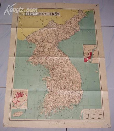
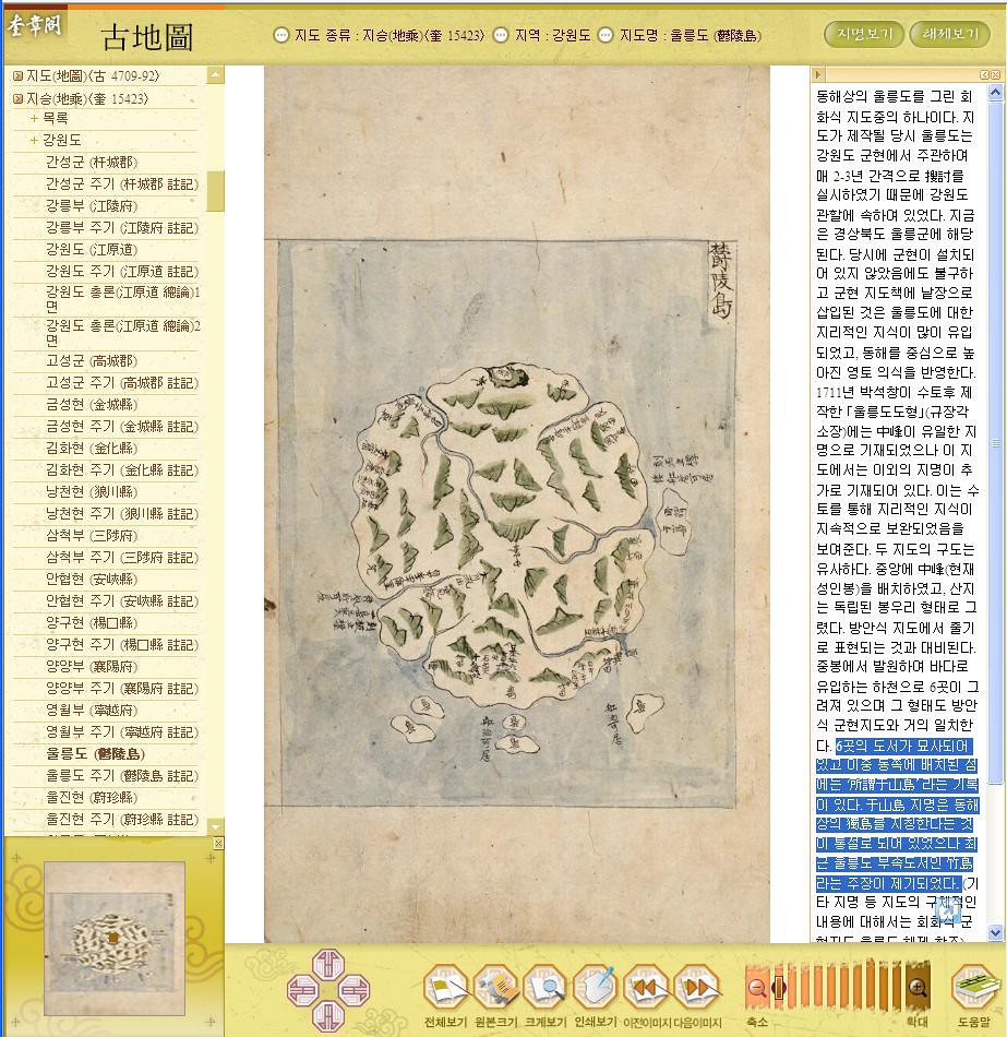
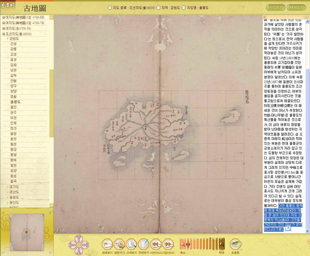
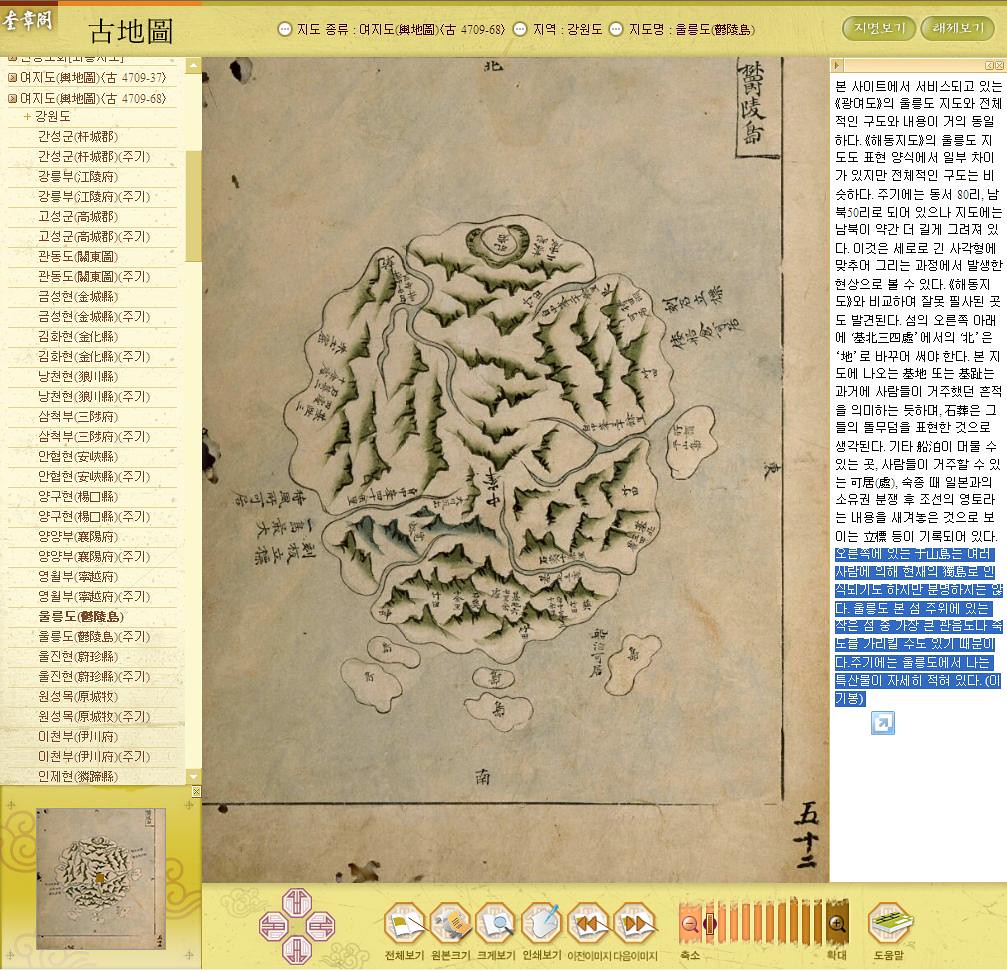
Indisputably, Ulleungdo(鬱陵島), which is one of Joseon's representative islands, had belong to our country Joseon, and it was known as Usando before, just as Jeju island was known as the country of Tamra(耽羅) in contrast. Usando had been called such as U-leung(羽陵)do, Mulleung(武陵)do, Ulleung(蔚陵)do or Ulleung(鬱陵)do afterwards. However, it seems that the etymologies are all the same. In 1471, the second year of King Seongjong, a retainer Park Wonjong(朴元宗) and his party once went to the island and had brought huge bamboos and abalones back, so the island of Ulleungdo got to be known as Jukdo(竹島) since the location was famous for production of the huge bamboos.
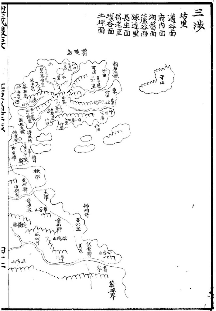
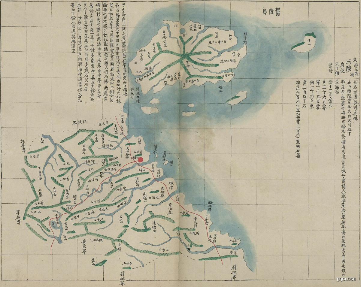
However, the name of the island was standardized as Ulleungdo now, and the name of Jukdo(竹島) was assigned to a adjacent island on East part, and this Jukdo had been the eastern edge point of our Joseon historically.As we know, this Jukdo(竹島) shares same Chinese caracter with Japanese Takeshima(竹島), but they are completely different islands. Jukdo, which locates 2-4 km east of Ulleungdo, which is definately the island Mr. Sok mentioned in the report, was the adjacent island of Ulleungdo, was the easternmost of Korea. On the other hand, Takeshima, which locates 92km southeast of Ulleungdo, was Japanese territory since they incorportated it into Shimane prefecture officially in 1905.
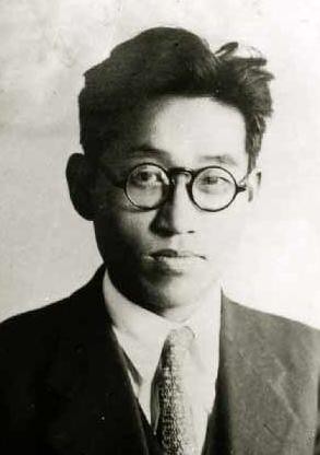
Sok Ju-myong(石宙明) was a Korean butterfly specialist and he was a director of zoology division of National Science Museum. He was born in Pyongyang in 1908 and later, went to Ibusuki Experimental Botanical Garden(鹿児島高等農林学校) in Japan.
Although he accompanied the party as a member of the Korea Alpine Association in 1947 to collect the evidences to show Takeshima/Dokdo was Korea's territory, he missed the tour to Takeshima/Dokdo since he lost his way when he went to Saint Peak(聖人峯) and couldn't be on time. Maybe, that was the reason he honestly wrote the fact that Jukdo was the easternmost of Korea before he got to know Takeshima/Dokdo was not inside their territory, since he didn't know where today's Takeshima/Dokdo was in reality. In fact, he lost his integrity and distorted the historical fact of the Korea's eastern limit just a week after he wrote this report. On 9th Sep. article, he wrote "Dokdo is within our territory", to my surprise.
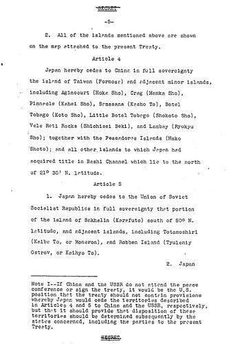
As we have seen so far, after 1947, Korean distorted the historical facts and build up their theory that Takeshima/Dokdo had been within their territory since 512 A.D., though there is absolutely no historical maps/documents to support their claim. The two articles Mr. Sok wrote in 1497 illustrates the origin of this Korea's fabrication on Takeshima/Dokdo claim and prove how they had distorted the historical fact of their own in order to expansion their territory militarily.
This post was written based on the excellent work of our commentator Chaamiey and Makoto. You can read the details in Japanese on chaamiey's site.
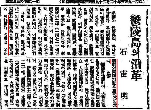
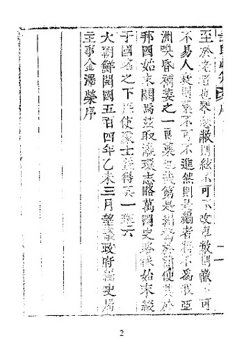
鬱陵島の沿革 ソウル新聞 1947
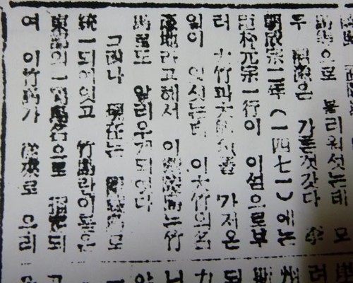
鬱陵島の沿革 ソウル新聞 1947(補充・再掲)
References;
「再説・石宙明(ソク・ジュミョング)」 SEOK D.M. (Sok Ju-myong) revisited(Japanese)
Korea's Post-Liberation View on Dokdo and Dokdo Policies (1945 - 1951). JUNG Byungjoon


